EPNM: access spurs
I’ve started working on my Edinburgh Paths Network Map again. The last thing I did was update the extent of the line layer that represents the paths themselves. The next thing I’m going to do is split out the access spurs (the little entrance / exit bits) into their own layer.
Initially the paths line layer contained only 88 features. Then I went wild and extended it much further than I’ve explored in real life which came to 830 features. Then I reigned it back in a bit and currently it contains 239 features. This is a better starting point. It’s the amount of path network I would show to someone visiting Edinburgh who wants to go for a nice walk somewhere. Thus I’m calling it the primary path network. This leaves room for expanding it later with another layer perhaps, likely called secondary path network or something.
So it’s back to QGIS to split my primary paths network layer into two. A bunch of zooming in and out and panning and selecting later… now I have 153 features in the primary path network and a new access spurs layer with 86 features.
Tip: hold Ctrl while zooming in and out and QGIS will zoom in and out slower. Conveniently you can also use Ctrl + Click to select features, rather than using Shift + Click, so you don’t have to hop between the two keys.
The new access spurs layer is a bit rough. I appear to have missed a few tiny path segments here and there (usually stairs it seems). Fixing those later will be a good exercise in updating one of my line layers with fresh data extracts from QuickOSM. It’d also be useful to combine some segments together into a single feature I think. That way a specific access spur can be selected and treated as a whole. But then I’d lose the possibility of showing certain information. Like whether a chunk of stairs in the middle of an access spur has a handrail or not, for example. Hmmm. Not a decision for today though, just a thought.
Ok next up is updating the web map with the spur-less primary path network and adding the new access spurs layer. Added the new GeoJSON files. That was sufficient to trim all the spurs off the current map. Now to put the spurs back on the map, but this time in their own separate layer that I can style separately. Ok done. Now to style them differently and only show them once you’ve zoomed in closer. Done and done.
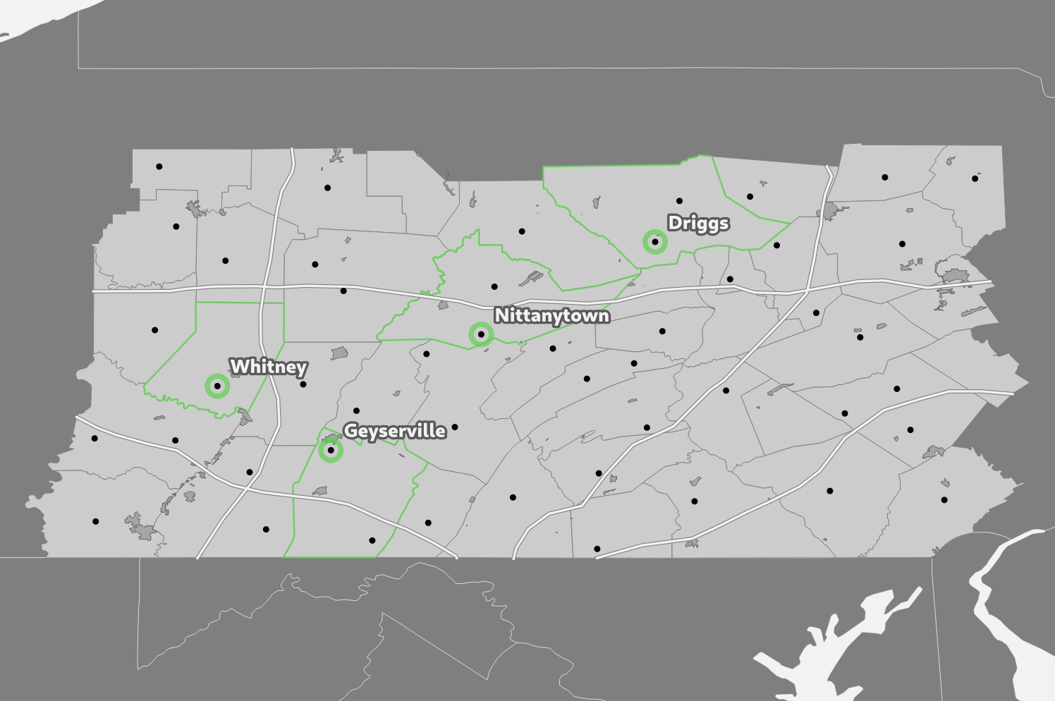
Jolly good. I have a whole raft of ideas for things I’d like to try with this map but I’m not sure what I want to do next. I’ll probably revisit the green circles currently marking “access points” first and clean them up a bit while I consider the next thing.