- blog/
weeknotes: some BCS conference notes and 30DayMapChallenge
Table of Contents
Hello! This week I thought I’d share a few highlights from my BCS Conference notes.
Workshops #
- Creating Hillshades and 3D Terrain anywhere in the world with QGIS and MapTiler (Tom Armitage, MapTiler)
- dabbling with QGIS plugins: MapTiler, Relief Visualization Toolbox, Qgis2threejs
- thoroughly impressed by the Qgis2threejs export we created
- A beginner’s guide to Spatial SQL (Helen McKenzie, CARTO)
- CARTO seems like a pretty neat platform
- they have a lot of datasets (spatial data catalog says 12096 datasets today)
- according to Helen, hexagons are the bestagons
Map Curators Group #
I’ve only really just begun to delve into my interest in old maps, so it was thoroughly enjoyable to listen to some people who have been interested in old maps for a long time, and to see what they have been getting up to.
The theme for the afternoon was Finding Maps. There was a plethora of interesting discussion ranging from how to construct a cartobibliography (lots of research to find all the historical maps of a specific area), to interface and system design that enables people to find the physical location of old maps that interest them.
This awesome georeferencing and digitization effort from Jon Dollery really caught my eye. It also caught the eye of the judges for The Ordnance Survey Award too, as I saw it again the next day winning that award during the main conference awards ceremony. Well done to all involved!
- Historic Ordnance Survey Mapping (1869-1874)
- Deep Mapping Estate Archives
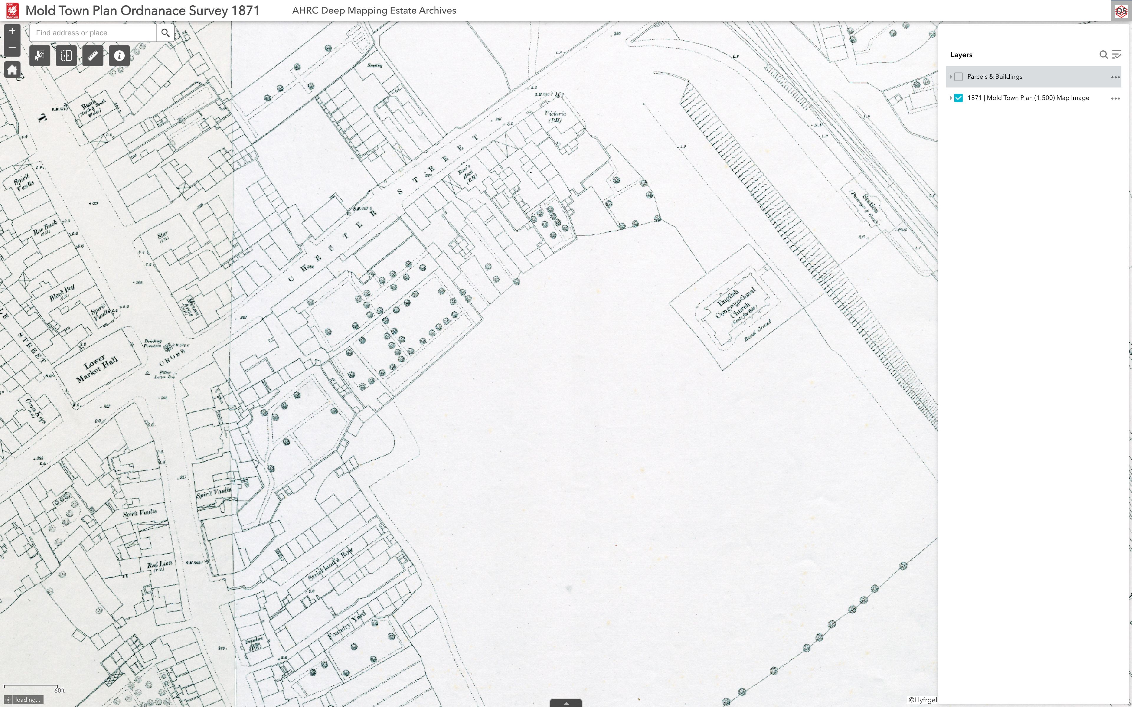
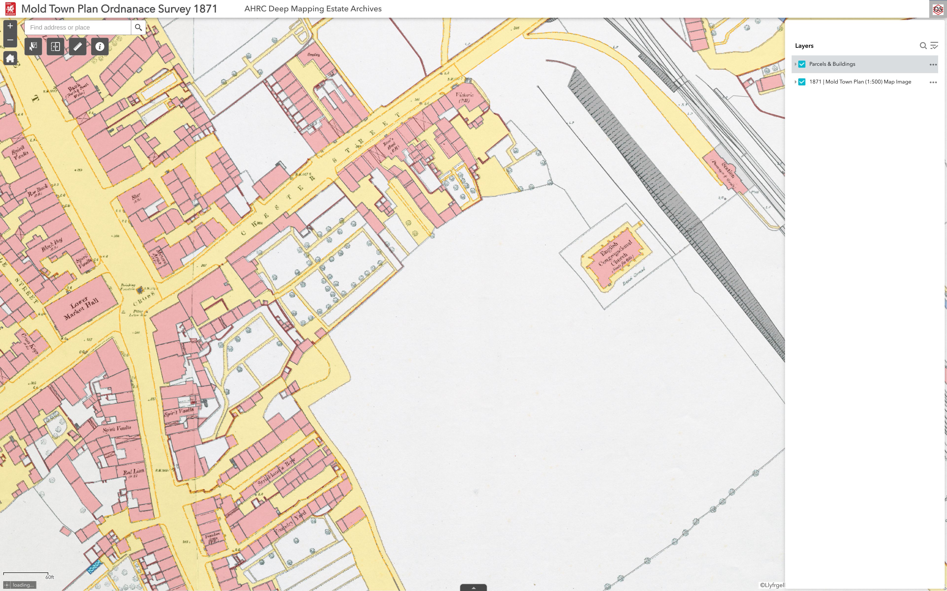
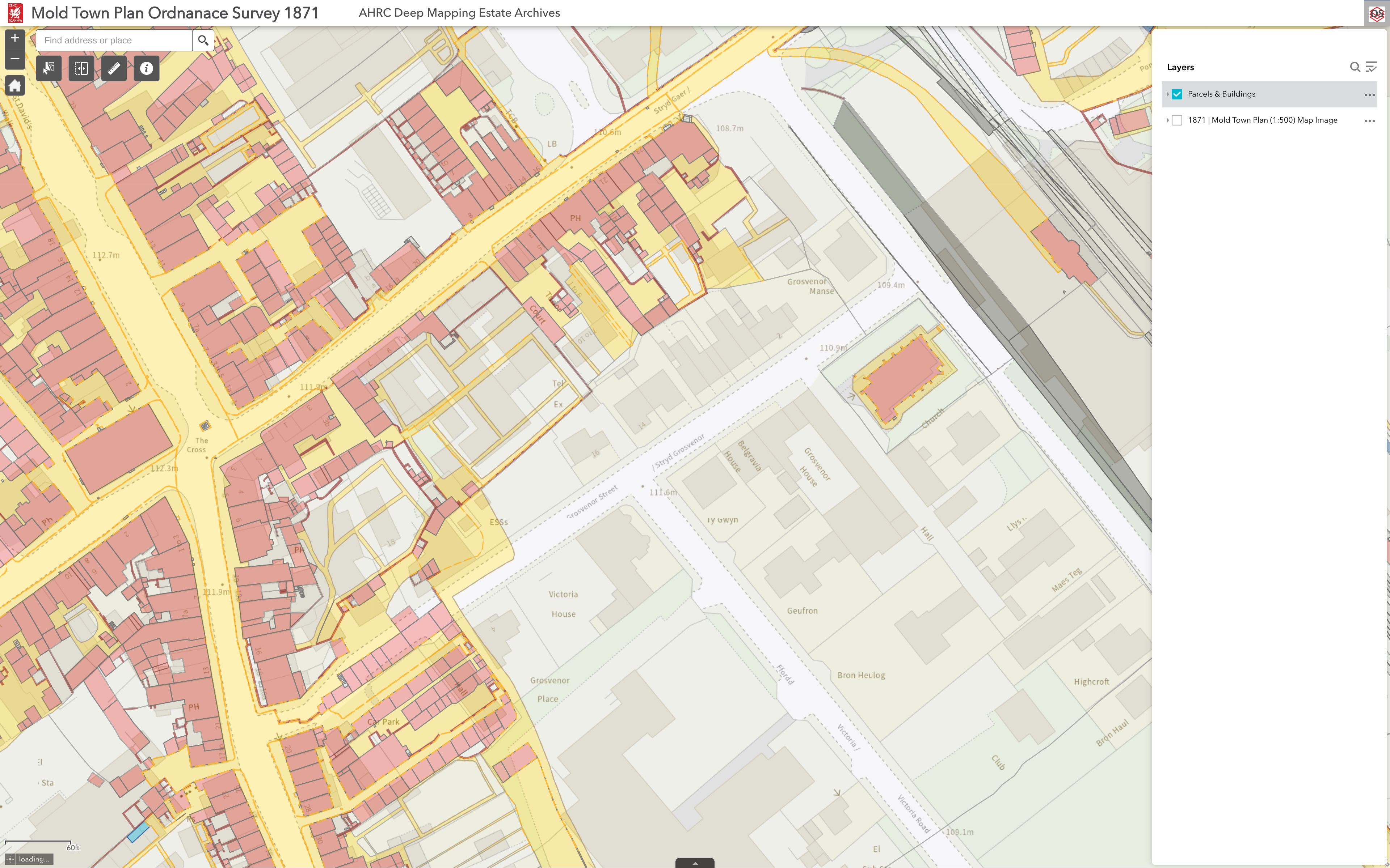
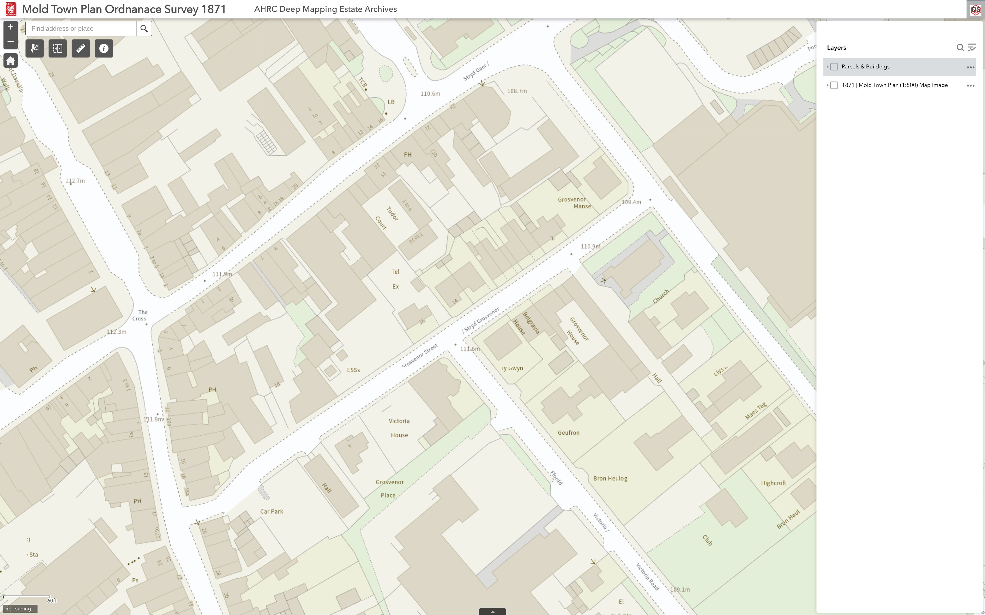
- Mold Town Plan Ordnanace Survey 1871
I particularly like the Mold Town Plan one. Here is a little zoomed in section comparing 1871 to now:
Main Conference #
Much like the day before, it was thoroughly enjoyable listening to all manner of mappy people talking about map stuff all day.
I’m just going to dump some links and quotes and pictures here.
Is Geography a core part of your business? If the answer is yes ask yourself – does your business act like it is?
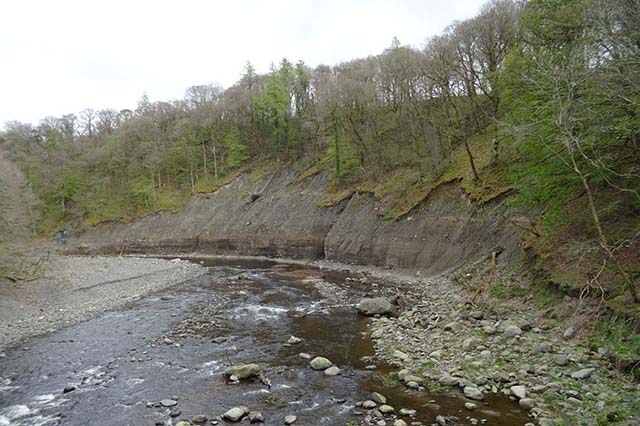
Seeing GIS in the context of a geologists work involving river morphology was cool.
- https://www.bgs.ac.uk/news/river-erosion-the-forgotten-hazard-of-flooding/
- https://www.bgs.ac.uk/datasets/bgs-geoscour-premium/
maps > tables
turn tables into maps to reveal new things
Greenground maps are really cool. Apparently London has 3000 parks, that’s a lot more than I’d have guessed!
I enjoyed the talks about local neighbourhood analysis sort of stuff. 20-minute neighbourhoods, and 15-minute cities.
Public Transport Accessibility Levels data from the cities one:
Incredible hand-drawn maps:
Helen spoke about how she created this map of The Rows in Chester as well as a map she drew of a 1300 mile journey across the North Atlantic.
Maps in the Wild is fun :)
- https://www.mappery.org
- https://nitter.net/MapsintheWild
#mapsinthewild
Conclusion #
Following the conference, I came to the conclusion that I should just start playing with mapping open data.
That conclusion happens to lead nicely into my next item this week…
30DayMapChallenge #
#30DayMapChallenge is pretty much what it sounds like – make a map a day for 30 days. This has been a thing in the GIS community for a few years now, from what I’ve gathered. The rough idea seems to be: make maps, share maps, enjoy maps. Sounds good to me!
The daily themes for November’s #30DayMapChallenge were announced by Topi Tjukanov at the beginning of October, so I’ve been pondering map ideas. By no means do I intend to (or think I even could) make a map for all of the 30 days, but I do plans to try and make a few.
So as per my conclusion, it’s time to start playing with mapping open data!