- blog/
weeknotes: SQL, basemaps, and old atlases
In the last week I got stuck into GEOG 868 (the Pennsylvania State University Spatial Database Management course I mentioned last week). I started off with a bit of an SQL refresher via SQLBolt and some SQLZOO, then cracked on with GEOG 868 Lesson 1.
I had a little hurdle to overcome in that the first lesson uses a Microsoft Access .accdb database, but I don’t have Microsoft Access. Not to worry I thought, I assumed there would be a website out there that could convert it to SQLite, and I was right: RebaseData
But then shortly into the lesson, I found my first WHERE clause was not correctly filtering the records. Turns out columns in tables in an SQLite database don’t have to have a type. I’ll leave the rest of the details for my currently half-written blog post on sorting that out.
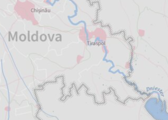
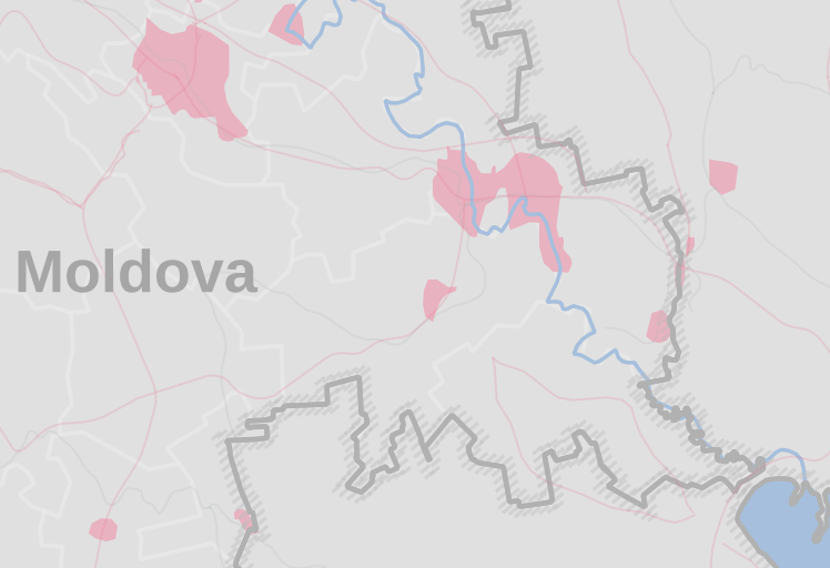
I also started something of a cartography project too. Inspired by this map from Anita Graser (underdarkGIS on mastodon and twitter) I decided to do my best to replicate it. I had fun trying to recreate the country border line style – seems pretty close, I’m sure I could get it with some more fiddling:


Anita has been continuing to work on this map and since I first saw it those borders have changed, oh well. I still like them so they’re staying in my basemap project for now.
Lastly for this weeknote, something I’m very excited about.
I won a few old atlases at an auction recently and they finally arrived :D
They were published in 1961, 1954, 1935 and 1917. The 1961 one needs some research, it could be a different year. Anyway, I’ll post more about these soon.
They are very cool.