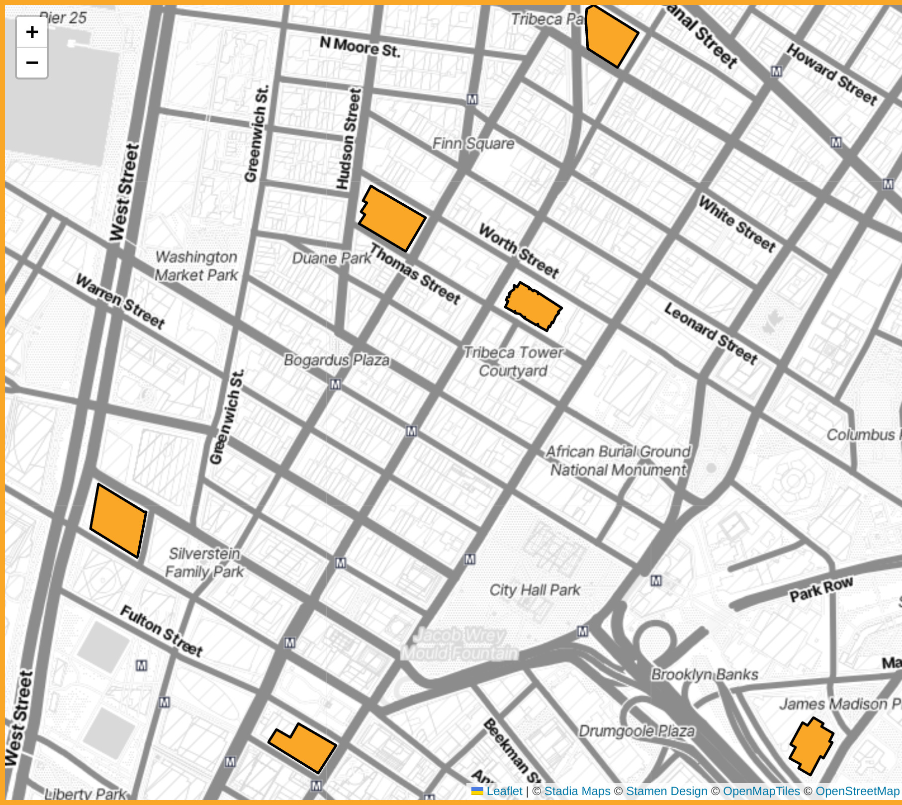
Address Mapping
view interactive map: Networks of New York (Building Map)
view source: https://github.com/osgav/new-york-buildings
steps taken to create the map:
- download building polygons from OpenStreetMap in QGIS using QuickOSM plugin
- manually extract buildings of interest to their own layer
- export layer to GeoJSON, selecting subset of fields
- configure Leaflet map to display building polygons
- parse address-related fields with javascript to construct and display an address